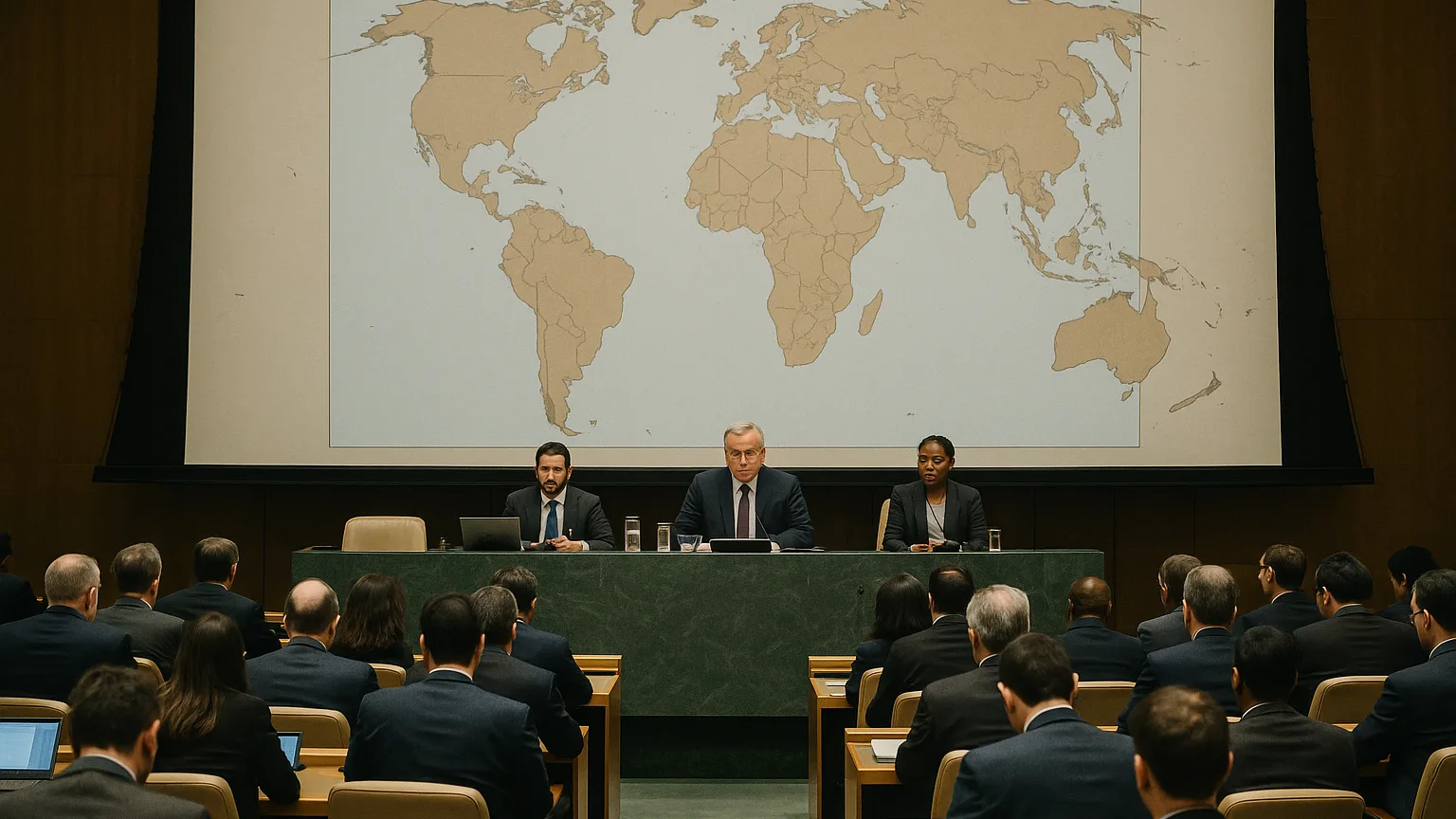
UN General Assembly backs African-led 'Correct the Map' resolution 164-1, with six abstentions, promoting the Equal Earth equal-area projection to correct Mercator distortions.
"Superfluous," the United States representative said, dismissing the proposal as the General Assembly voted on 4 September 2026.
It did not matter: the assembly adopted a resolution sponsored by Togo on behalf of African Union members and the Bahamas, 164 to 1 with six abstentions, urging the wider use of the Equal Earth equal-area projection. The text is non-binding, but campaigners say it should prompt changes in school curricula, newsrooms and digital mapping platforms.
The point is concrete. Gerardus Mercator's 1569 projection inflates high-latitude regions and compresses equatorial areas so Greenland appears roughly the same size as Africa even though Africa is about 14 times larger. Equal Earth, developed in 2018 and named in the resolution as a practical alternative, is designed for general cartographic use rather than maritime or aerial navigation. Togo's foreign minister Robert Dussey led the push, and France and other supporters said they will stop using Mercator in some official contexts. The next test is implementation: whether national education ministries, major mapmakers and the big tech platforms change what they teach and display.
What Happened
The measure, tabled under the title "Correct the Map", carried wording that "recognises and affirms that disproportionate cartographic representations, particularly those resulting from the Mercator projection, have had lasting cognitive, educational, cultural and economic effects," according to the resolution text.
The text also urges wider use of equal-area representations so that Africa, Latin America, South Asia and Oceania appear larger on world charts than they do on traditional Mercator displays.
The Context
The assembly framed the change as a corrective to centuries of cartographic habit tied to empire, embodied in the Correct the Map resolution.
Map projection is a set of tradeoffs. A globe cannot be flattened without distortion, so cartographers decide whether to preserve angles or preserve area. The Mercator projection, devised in 1569 to aid European seafaring, prioritised direction for voyages and, as a result, stretches high-latitude regions while compressing equatorial ones.

Equal Earth, developed in 2018, takes the opposite approach by preserving area; the resolution singles it out as a relevant equal-area option for general cartographic use rather than for maritime or aerial navigation.
Legally the vote changes nothing. The resolution is non-binding. Politically it matters because a 164-1 margin turned a technical cartographic preference into a broad international signal that mapmakers, educators and media may now face public pressure to answer.
Watch next for concrete moves by ministries of education, national mapping agencies and major publishers as they decide whether to align classroom materials and public-facing charts with the equal-area recommendation.
Reaction
The vote split rhetoric from practice: diplomats treated the resolution as a political signal while campaigners framed it as a prompt for concrete change. The text itself singles out the Equal Earth design as a ready equal-area option for general cartographic use.
African campaigners and education advocates called the outcome a milestone and said it should force updates to school maps, textbooks and media graphics. They argued that visual habit has long shaped perceptions of development and power, and that correcting charts is a step toward correcting those cognitive biases.
National capitals reacted unevenly. France and other supporters said they would move away from Mercator in some official contexts, while the United States stood alone in opposing the measure and dismissed it as unnecessary. Several delegations abstained, underscoring that some states see the change as symbolic rather than operational.
Technical and commercial hurdles remain. The resolution is non-binding, so any shift will depend on education ministries, national mapping agencies, atlas publishers and the major digital platforms that supply maps to billions of users. The next visible test will be whether those institutions revise classroom materials and public-facing charts.
What's Next
The vote moves the question from diplomacy into the hands of institutions that teach and show maps. The resolution does not force change, so the measure of its impact will be whether national authorities, publishers and platform operators alter what millions of people see in classrooms, newspapers and on screens.
What to watch
- Education ministries and curriculum boards, which decide when and how textbooks are updated, and whether classroom wall maps are revised.
- National mapping agencies and professional cartographic bodies, which can publish new official basemaps and technical guidance adopting equal-area standards.
- Atlas and textbook publishers, whose next editions determine how quickly schoolroom and library maps shift.
- Newsrooms and graphics desks, which can replace Mercator visuals in reporting and explainer pieces.
- Major digital mapping platforms and map APIs, which control default basemaps on billions of devices and can offer Equal Earth as a standard option.
None of these steps is automatic. Changing a curriculum or a commercial atlas takes editorial and procurement cycles. Replacing default basemaps in digital services requires engineering work and product decisions. Advocates say the resolution should accelerate those processes; critics call the effort symbolic.
A practical constraint is clear. The Equal Earth projection is posed, in the resolution, as a general-purpose equal-area option. Maritime and aerial navigation, where the original Mercator advantages still matter, are not the target of the change.
The immediate test will be what maps appear in classrooms, on news sites and on consumer devices. The United Nations vote will be judged not by the text on paper but by the charts people actually use, measured against 164-1.
Originally reported by Al Jazeera.
This article was created with AI assistance.


